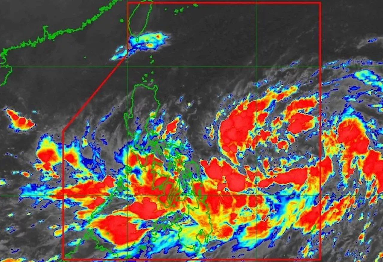
The regions of Bicol and Eastern Visayas as well as the province of Quezon have moderate to heavy rain from Tropical Depression Kristine on Monday, October 21. Signal No. 1 is also up in a few areas as of 5 am.
This is AI generated summarization, which may have errors. For context, always refer to the full article.
The tropical depression is moving west southwest, maintaining a relatively fast speed of 30 kilometers per hour .Kristine is already bringing moderate to heavy rain to parts of the eastern Philippines on Monday, with floods and landslides likely.
PAGASA also said up to moderate seas will be seen in the remaining seaboards of the country on Monday. Small vessels should take precautionary measures or avoid sailing, if possible.
PAGASA PAGASA Forecasts Weather Philippine News
Philippines Latest News, Philippines Headlines
Similar News:You can also read news stories similar to this one that we have collected from other news sources.
 LPA expected to enter PAR, develop into tropical depression to be named 'Kristine'MANILA, Philippines — The state-run weather agency said on Sunday that a low pressure area (LPA) was expected to enter the Philippine Area of Responsibility (PAR) anytime within the day and would develop into a tropical depression to be named 'Kristine.
Read more »
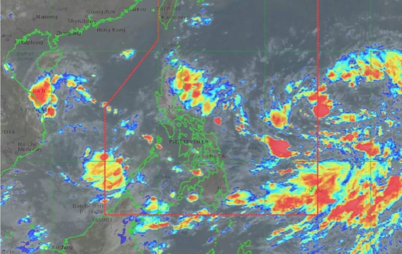
 Low-Pressure Area East of Luzon May Develop Into Tropical Depression KristineA low-pressure area (LPA) located east of Southern Luzon is forecast to enter the Philippine Area of Responsibility (PAR) on Sunday and has a high chance of developing into a tropical depression within 24 hours. The LPA's trough will bring rains over parts of Luzon, with possible landfall in Northern and Central Luzon. Meanwhile, other areas will experience scattered showers due to the Intertropical Convergence Zone.
Read more »
 Tropical Depression 'Julian' Upgraded To Tropical StormThe state weather bureau upgraded 'Julian' (international name: Krathon) from a tropical depression to a tropical storm on Saturday and said it could intensify to a typhoon by Monday. As of 5 p.m., Julian was 380 kilometers east of Aparri, Cagayan, with maximum sustained winds of 65 km per hour near the center and gustiness of up to 90 kph.
Read more »
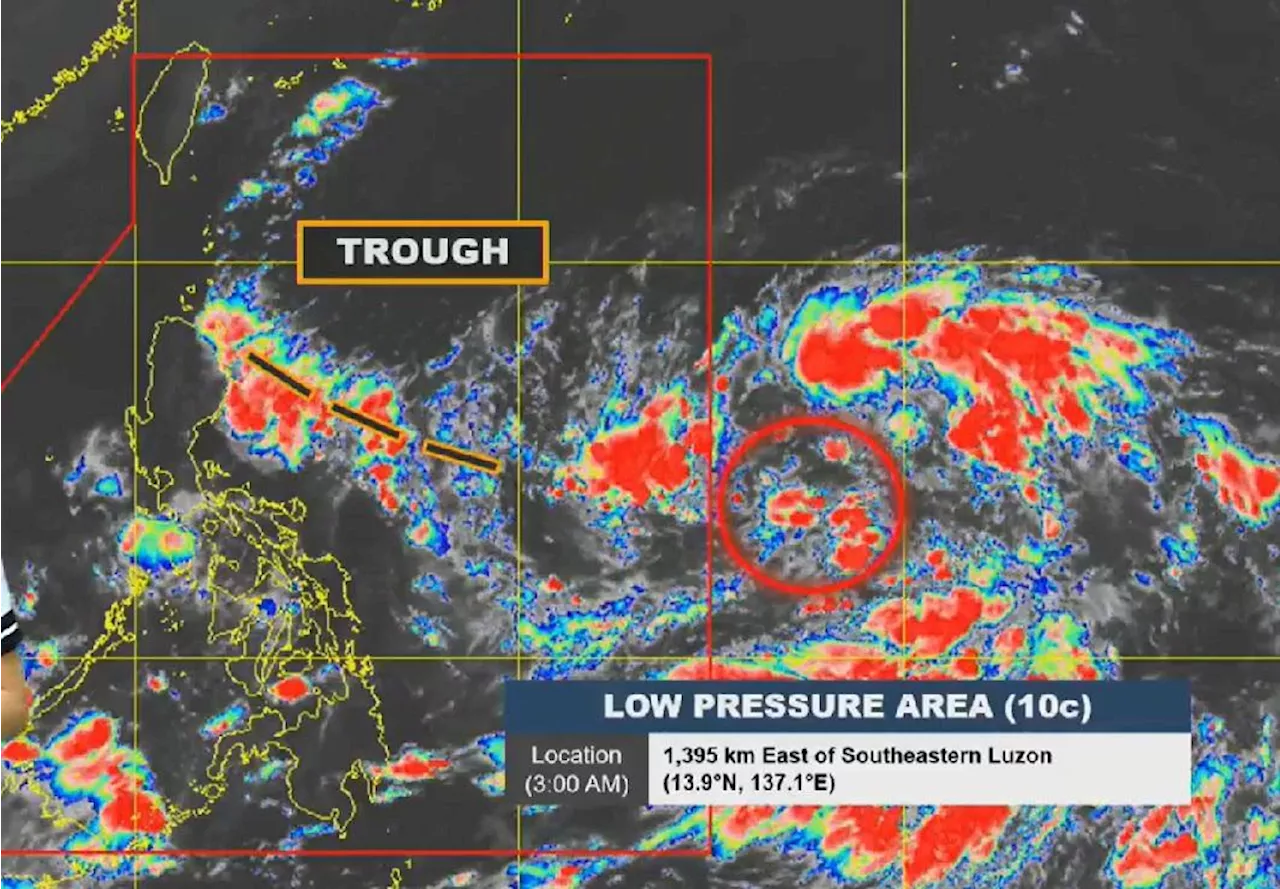
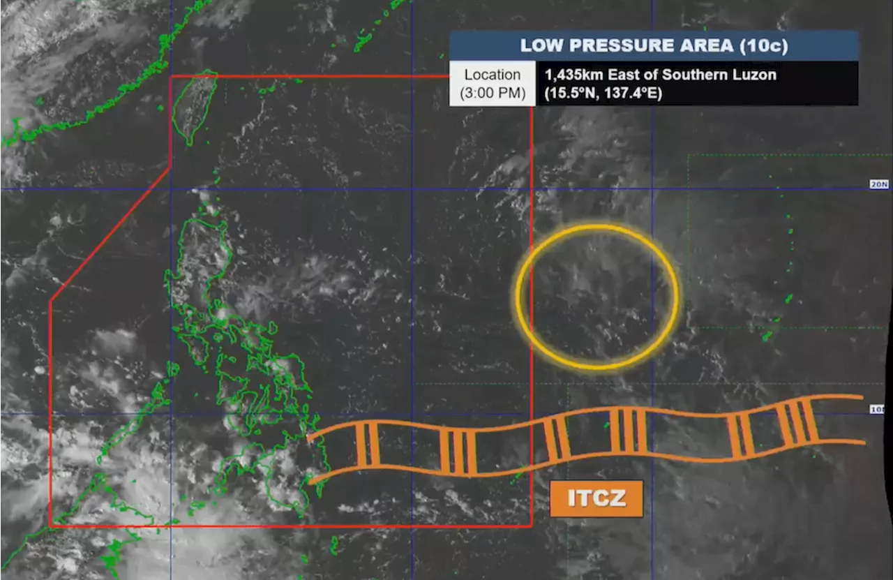 LPA outside PAR has ‘medium’ chance of becoming tropical depressionThe low pressure area is 1,435 kilometers east of Southern Luzon on Friday afternoon, October 18
Read more »
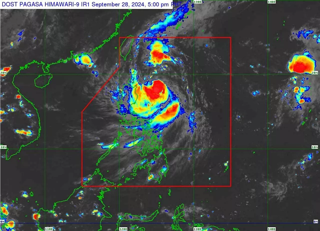
 PAGASA monitors tropical depression outside PAR, 2 low pressure areasOne of the low pressure areas, located inside the Philippine Area of Responsibility, already has a high chance of developing into a tropical cyclone as of Thursday evening, September 26
Read more »
 PAGASA monitors LPA, tropical depression outside PARLatest Philippine news from GMA News and 24 Oras. News, weather updates and livestreaming on Philippine politics, regions, showbiz, lifestyle, science and tech.
Read more »