WeatherAlert: PAGASA says Tropical Depression Domeng, which is enhancing the southwest monsoon, may intensify further into a tropical storm by Friday morning, July 1. DomengPH
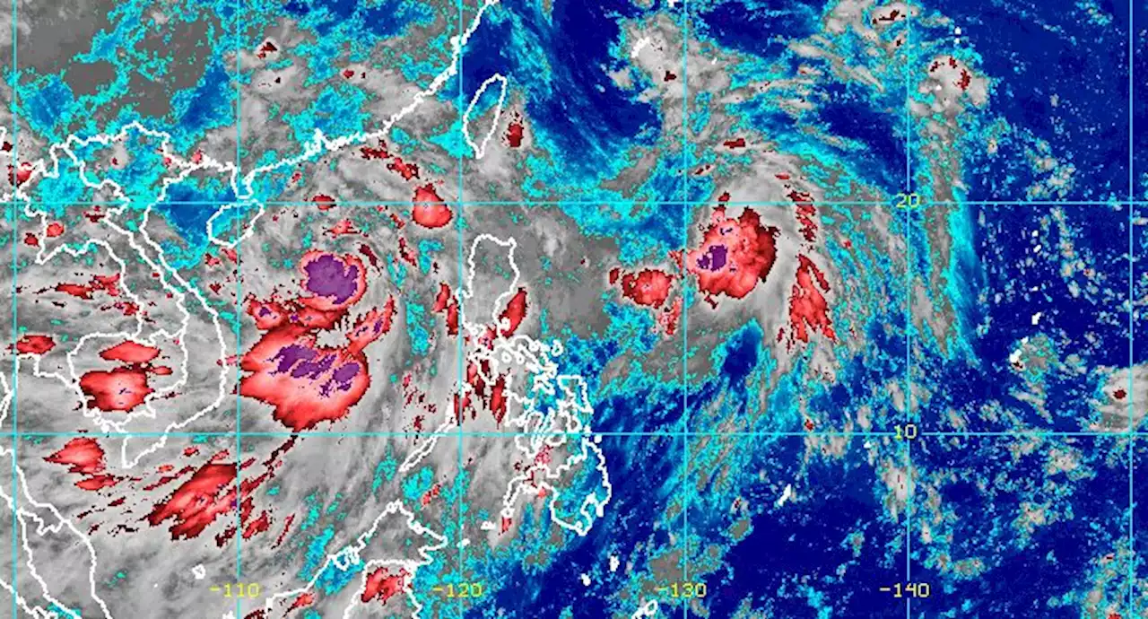
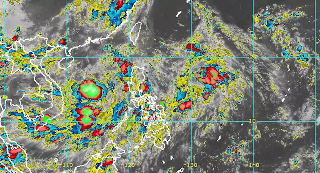
MANILA, Philippines – Tropical Depression Domeng strengthened a bit on Thursday evening, June 30, while staying far from Philippine landmass.
Domeng and Tropical Storm Caloy , which had left the Philippine Area of Responsibility on Wednesday, June 29, continue to enhance the southwest monsoon orIn its 11 pm bulletin on Thursday, the Philippine Atmospheric, Geophysical, and Astronomical Services Administration said Domeng now has maximum sustained winds of 55 kilometers per hour from the previous 45 km/h, and gustiness of up to 70 km/h from 55 km/h.
It is likely to intensify further into a tropical storm within 12 hours, or by Friday morning, July 1.PAGASA said the tropical depression slowly moved south on Thursday evening, but it is expected to head north northwest – away from the Philippines – in the next three days. It will not make landfall in the country and there are noMeanwhile, Caloy was already 545 kilometers west northwest of Central Luzon on Thursday evening, moving north northwest at 10 km/h.
The tropical storm also slightly intensified. It now has maximum sustained winds of 85 km/h from the previous 75 km/h and gustiness of up to 105 km/h from 90 km/h. Due to the southwest monsoon enhanced by both Caloy and Domeng, rain will persist on Friday, especially in the western parts of Central Luzon and Southern Luzon. There may be scattered floods and landslides.
Philippines Latest News, Philippines Headlines
Similar News:You can also read news stories similar to this one that we have collected from other news sources.
 Tropical depression Domeng slightly intensifies, moves southward slowlyTropical depression Domeng slightly intensifies, moves southward slowly READ:
Read more »
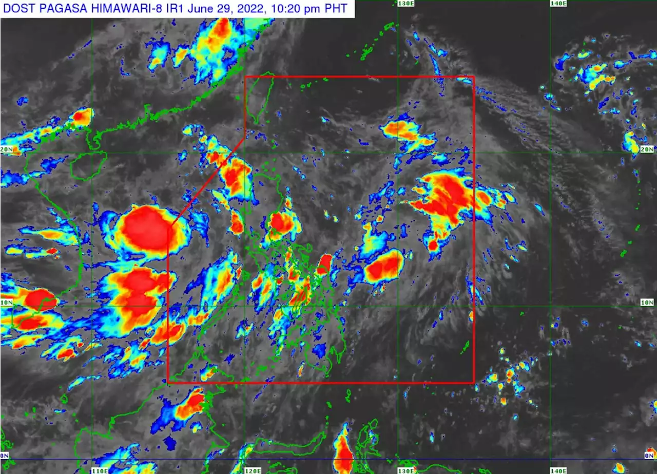
 Domeng to enhance Habagat, will spur monsoon rainsPAGASA said Domeng and Tropical Storm Chaba, which is currently outside the Philippine Area of Responsibility (PAR), will enhance the trough of the monsoon and the prevailing southwest monsoon. This will spur monsoon rains over the western sections of central and southern Luzon and occasionally gusty conditions reaching a strong breeze to near gale in strength over extreme northern Luzon, the northern and western portions of Luzon, and the western portion of Visayas.
Read more »
 PAGASA: Caloy slightly intensifies while moving slowly over West Philippine SeaIn its 11 p.m. bulletin, PAGASA said the tropical depression may develop into a tropical storm category in the next 24 hours. It is expected to move generally northwestward slowly until Thursday morning before slightly accelerating northward for the rest of the day.
Read more »
 Tropical Depression Caloy slightly strengthens; new LPA forms inside PARWeatherAlert: Tropical Depression Caloy continues to enhance the southwest monsoon, the source of the rain in parts of Luzon and Western Visayas. CaloyPH PAGASA is also monitoring a new low pressure area.
Read more »
 Caloy moves slowly towards West Philippine Sea, enhances HabagatAt 3 a.m. on Wednesday, the center of Tropical Depression Caloy was estimated at 395 kilometers west of Iba, Zambales with maximum sustained winds of 45 kilometers per hour near the center and gustiness of up to 55 km/h and moving westward slowly, PAGASA reported.
Read more »
 Caloy maintains strength, now outside PARTropical Depression Caloy is now outside the Philippines as Bataan, Zambales, Palawan, Oriental Mindoro, Occidental Mindoro, Aurora and Quezon will exprience monsoon rains due to the monsoon trough / southwest monsoon, PAGASA reported.
Read more »